
DJI – Introducing the GEO System
페이지 정보
작성자 관리자 (61.♡.222.236) 댓글 0건 조회 66회 작성일 16-07-08 16:33본문
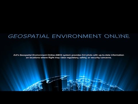
DJI’s new Geospatial Environment Online system, or GEO for short, is a best-in-class flight information system that helps drone operators make smart decisions about where and when to fly. It combines up-to-date live airspace information, a warning and flight-restriction system, and a mechanism for authorized users to unlock flight restrictions in certain locations.
Subscribe: http://www.youtube.com/user/djiinnovations?sub_confirmation=1
Like us on Facebook: https://www.facebook.com/DJI
Follow us on Twitter: http://www.twitter.com/DJIglobal
Follow us on Instagram: http://www.instagram.com/DJIglobal
Website: http://www.dji.com/?utm_source=youtube&utm_medium=video-description&utm_content=DJI-Introducing-the-GEO-System&utm_campaign=DJI-Primary
관련링크
댓글목록
등록된 댓글이 없습니다.


